Mūsų paslaugos

Tikslūs geodeziniai matavimai jūsų projektams, atliekami profesionaliai ir laiku.
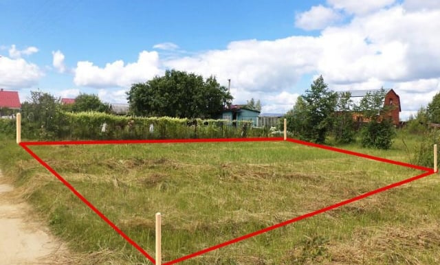
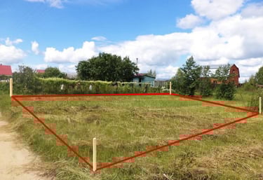
Surveyor using modern GPS equipment in an open field during sunset.
Close-up of detailed geodetic maps and technical drawings on a desk.
Žemės matavimas

Atliekame tikslius žemės sklypų matavimus, užtikrinant patikimumą ir aiškumą.

Pastatų planai

Parengiame detalius pastatų planus, padedančius sklandžiai įgyvendinti statybos darbus.
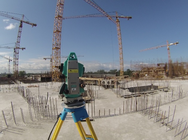
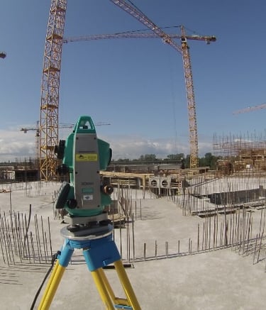
Projektai

Mūsų geodeziniai darbai – tikslūs ir patikimi.

Surveyor using modern equipment on a construction site at sunrise.
Žemės matavimai

Tikslūs žemės ribų nustatymai ir dokumentacija.

Close-up of a digital theodolite measuring angles on a building site.
Topographic map displayed on a tablet during fieldwork.
Team of surveyors collaborating with blueprints near machinery.
Topografiniai planai

Detalūs žemės paviršiaus žemėlapiai ir analizė.
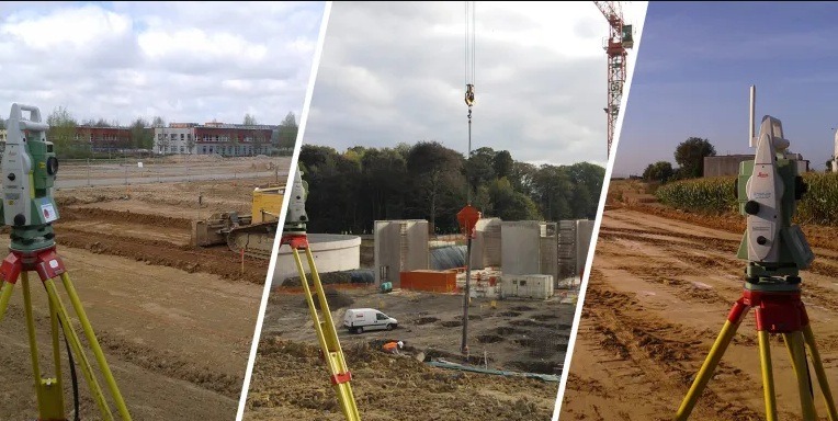
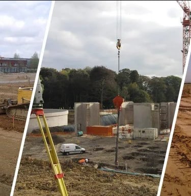
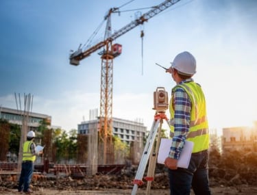
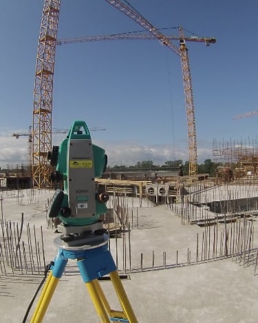
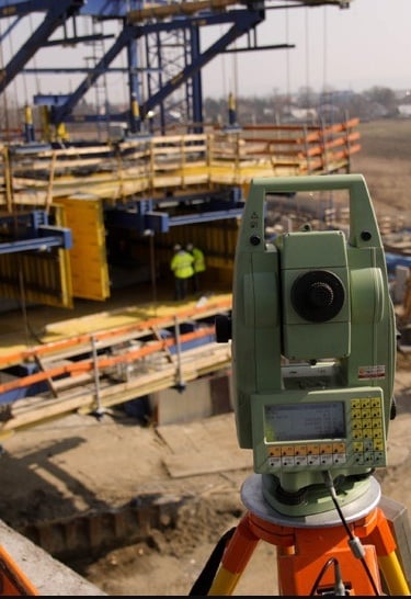
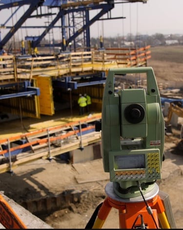
Galerija

Mūsų darbų akimirkos ir tikslūs matavimai

Surveyor using modern GPS equipment in an open field at sunrise
Close-up of a high-precision theodolite set up on a construction site
Team of geodesists collaborating over detailed maps and data
Aerial view of land being surveyed with visible markers and equipment